
6min 28s Novice
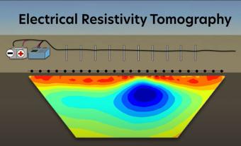
How can we explore what’s underground without digging? Electrical Resistivity Tomography (ERT) is a geophysical method that allows scientists to create images of the subsurface by measuring how electrical currents move through different underground materials.
This animation introduces educators and students to the principles of ERT and its applications in environmental science, engineering, and geophysics. Viewers will see how electrodes placed on the ground send electrical signals into the Earth, and how variations in how the current flows help map features like groundwater reserves, pollution zones, and hidden cavities. By analyzing these electrical patterns, scientists can better understand subsurface conditions and make informed decisions for resource management, environmental protection, and infrastructure planning.
This animation provides a clear and engaging overview of ERT’s role in real-world problem-solving, making it an excellent resource for classroom discussions on geophysical methods and Earth science investigations.
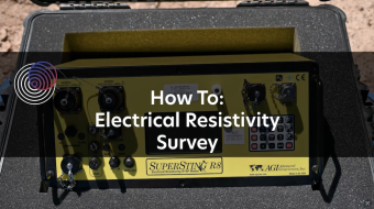
This video shows how to operate an electrical resistivity instrument in the field, including set-up, starting the surveying, and packing up. Electrical resistivity tomography (ERT) is a near-surface geophysics method.
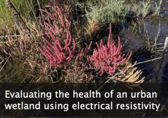
This module emphasizes how electrical resistivity is used as a proxy for measuring salinity in a wetland just outside of New York City, and how the presence of an indicator species is used as a proxy for ecosystem health. Comparing these data illustrates how cities impact the environments around them.
We encourage the reuse and dissemination of the material on this site as long as attribution is retained. To this end the material on this site, unless otherwise noted, is offered under Creative Commons Attribution (CC BY 4.0) license
