Advanced
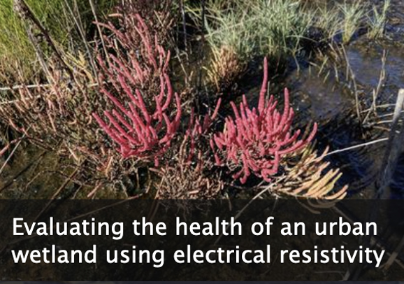
This module introduces students to the fundamental principles and uses of electrical resistivity, with a focus on an environmental application. Students explore the characteristics and environmental setting of Harrier Meadow, a salt marsh just outside of New York City. They investigate the relationship between electrical resistivity and physical properties of the soil in the marsh. Students also discover how variations in survey configuration parameters control investigation depth (how far into the ground the signals sense) and spatial resolution (what size objects can be detected). Finally, students learn about and then perform geophysical inversion, which is the process of estimating the geophysical properties of the subsurface from geophysical observations. In the final unit of the module, students evaluate the extent to which the geophysical dataset and direct physical measurements support the hypothesis, introduced in Unit 1, accounting for the distribution of pickleweed in Harrier Meadow.
Optional: Students can collect and analyze their own electrical resistivity data, using instruments available through the EarthScope Primary Instrument Center (instructions for making an educational use request are on the EarthScope Geophysics Field Education page).
A great fit for undergraduate courses in
This video defines what the near-surface is, why geophysicists are interested in it, tools used to study it, and how near-surface geophysics can help communities.
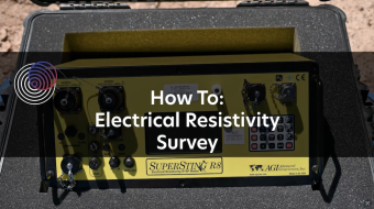
This video shows how to operate an electrical resistivity instrument in the field, including set-up, starting the surveying, and packing up. Electrical resistivity tomography (ERT) is a near-surface geophysics method.

In this module students learn to conduct terrestrial laser scanner (TLS) and/or Structure from Motion (SfM) surveys to address real field research questions of importance to society. Both geodetic methods generate high resolution topographic data and have widespread research applications in geodesy, geomorphology, structural geology, and more.
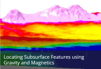
This module discusses gravity and magnetics geophysics field techniques and how to use them, including identifying buried objects and exploring the environment.
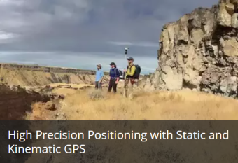
This module introduces students to global navigation satellite systems (GNSS, a more universal term than GPS). It focuses on static and kinematic methods, and shows examples for use in measuring topography and change detection.
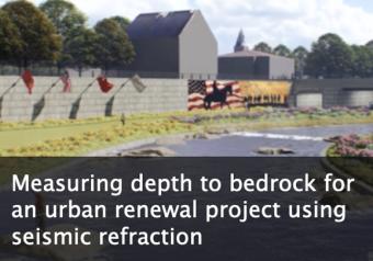
This module emphasizes how seismic methods are used to address problems or answer questions that apply to our everyday lives. Authentic datasets are used throughout the module, even for the simplest exercises. This allows students to grapple with the challenges of real data sets, where there is an element of interpretation in choosing where and how to measure variables.
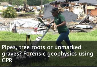
This module considers the capabilities and limitations of ground-penetrating radar (GPR) in urban/highly developed settings and for forensic applications. Students are asked to draw on their current understanding of common medical imaging methods and draw comparisons to GPR.
We encourage the reuse and dissemination of the material on this site as long as attribution is retained. To this end the material on this site, unless otherwise noted, is offered under Creative Commons Attribution (CC BY 4.0) license