15min 2s Intermediate
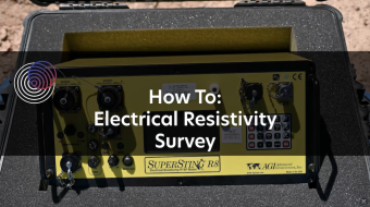
This video shows how to operate an electrical resistivity instrument in the field, including set-up, starting the surveying, and packing up. Electrical resistivity tomography (ERT) is a near-surface geophysics method.
Instrument featured: SuperSting R8 from Advanced Geosciences, Inc.
Find teaching resources, quick guides, and how to borrow instruments on the Geophyscis Field Education page.
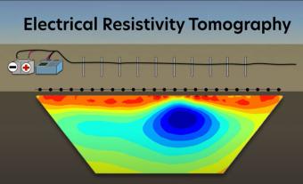
Electrical resistivity tomography (ERT) is a method for learning about the ground below our feet. It can help with finding pumpable groundwater, areas of pollution, hidden caves, and much much more. This animation overviews how ERT surveys work and what they are used for.

This video defines what the near-surface is, why geophysicists are interested in it, tools used to study it, and how near-surface geophysics can help communities.
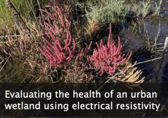
This module emphasizes how electrical resistivity is used as a proxy for measuring salinity in a wetland just outside of New York City, and how the presence of an indicator species is used as a proxy for ecosystem health. Comparing these data illustrates how cities impact the environments around them.
We encourage the reuse and dissemination of the material on this site as long as attribution is retained. To this end the material on this site, unless otherwise noted, is offered under Creative Commons Attribution (CC BY 4.0) license